In my last entry, I described photographing around the accepted start of the River Thames at Thames Head. However, there is an alternative view that the true start of the Thames, or its "ultimate" source, is further up in the Cotswolds. This is at Seven Springs, some 14 miles further inland. Seven Springs is the source of the River Churn, which is classically regarded as a tributary of the Thames, joining it near Cricklade.
The paths of the River Churn and the River Thames from their respective sources and their confluence near Cricklade. The orange symbols labelled 1-4 indicate the locations of pictures shown here. Map data sources: OS data © Crown copyright and database right 2026; OpenStreetMap contributors © 2026.
Set next to a layby behind the A436 road, this algae-covered sign marks the location of the “ultimate” source of the Thames. (Location 1)
The springs that are the source of the river Churn are almost concealed from public view in a lay-by set back from the A436 road. An algae-encrusted sign stands above a set of steps that lead down into a little hollow. At its base, a rocky wall has gaps in the rocks out of which clear streams of water squeeze. Together, these form a shallow stream over a sandy base that is channelled into a small tunnel.
This is the start of the River Churn, and it represents the longest continuous body of water from the Cotswolds through London and out into the Thames estuary.
There are some who take the view that, being the longest body of water, this must be the true Thames. However, it's very rare to come across this outside of either local signage or the depths of Wikipedia. I have quite a lot of books now about the River Thames, and the Churn hardly gets a mention, much less that it is the “ultimate source” of the Thames. As with the start of the canonical Thames, the Churn is seasonal. In general terms, it seems to be less strongly affected by seasonal drying than the Thames, which is another reason to consider it the ultimate source.
Steps lead down into a small hollow. At the base of a wall of rocks, water emerges from gaps and forms a small stream with a sandy base; it flows slightly downhill from right to left as we look at it here. In January this year, some lovely patches of snowdrops grew by the steps. (Location 1)
The little stream formed by the water emerging from the wall is channelled into a tunnel under the A436. Thus begins the River Churn.
The young River Churn snakes its way in a shallow channel across a field by the village of Coberly. (Location 2)
Once out of the little tunnel, the Churn eventually snakes across the local fields, a smaller version of what was gushing from Thames Head. From there, it makes its way through Cirencester, where it is diverted through a series of sluices, balancing channels and overflows that can cope with heavy flows of water during wet winters. Cirencester is protected from flooding by all these sophisticated pieces of hydrological engineering. One of these diversions, known as Barton Mill Pound, is quite a substantial river in its own right at this time of the year, and if the water levels get too high, they can be diverted onto accepted flood meadows to prevent the town from flooding.
By the time the Churn reaches Cirencester, it has become a fully fledged river. Cirencester is protected from flooding by diverting water from the Cotswold hills through a series of sluices, as shown on the left-hand side of the image, into drainage channels. (Location 3.)
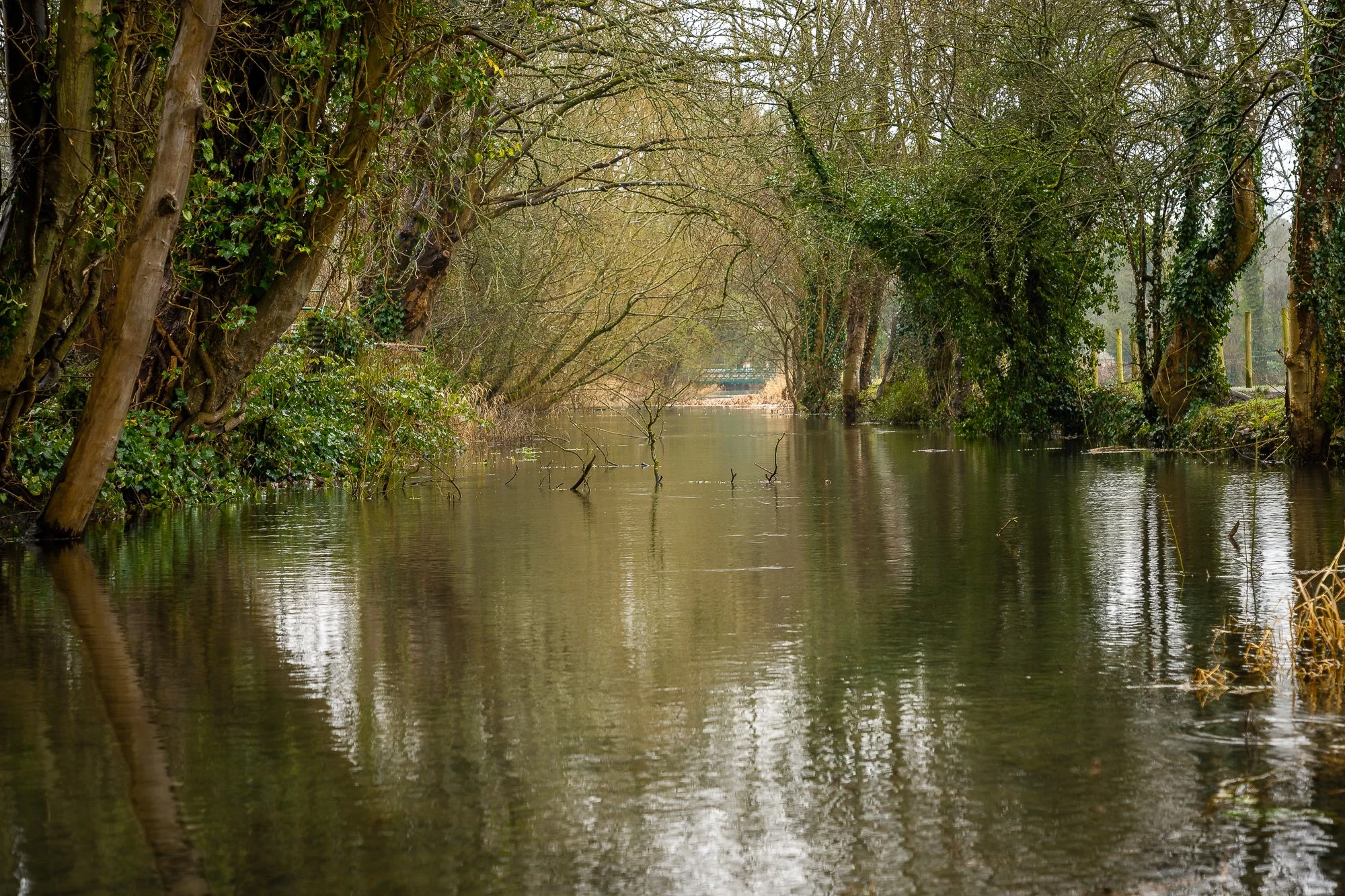
As it flows past Cirencester, the Churn becomes swollen by winter rain. This section, known as Barton Mill Pound, diverts water away from the built-up areas, so that it can escape if necessary into controlled flood plains. (Location 4.)
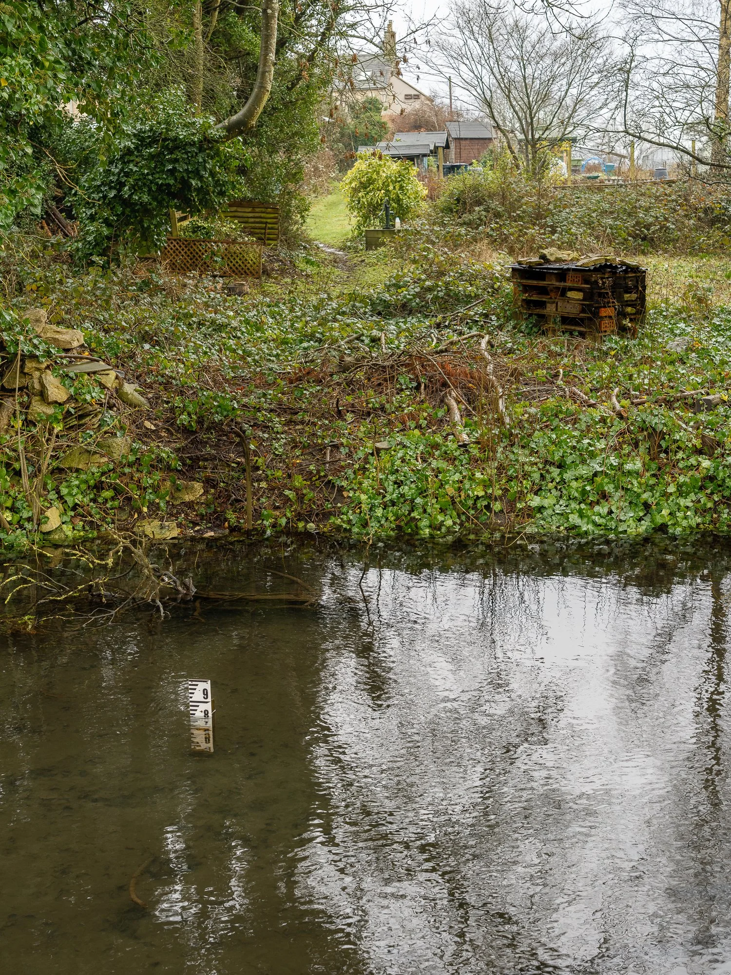
The river was high when I was there in January, although not overflowing after a long period of heavy rain. (L:ocation 4.)
Not far below Cirencester, the Churn breaks into a series of small streams, one of which ends at the accepted confluence of the Churn with the Thames. I would very much like to photograph that, but it is on private land, and I can see no immediate way of accessing it. Possibly sometime in the future, I might try to get there by boat (only possibly…)
In any case, it was fascinating to see the first major tributary of the Thames and the start of the longest continuous body of water that ends in the Thames Estuary.